Travel guide · Distances
Kenya safari distancesNairobi to every park by road, with drive times
How far is each park from JKIA, the city centre, Westlands, Karen and Wilson? This chart answers it from one routing run on OpenStreetMap, with the free-flow drive time and a link to the full route page.
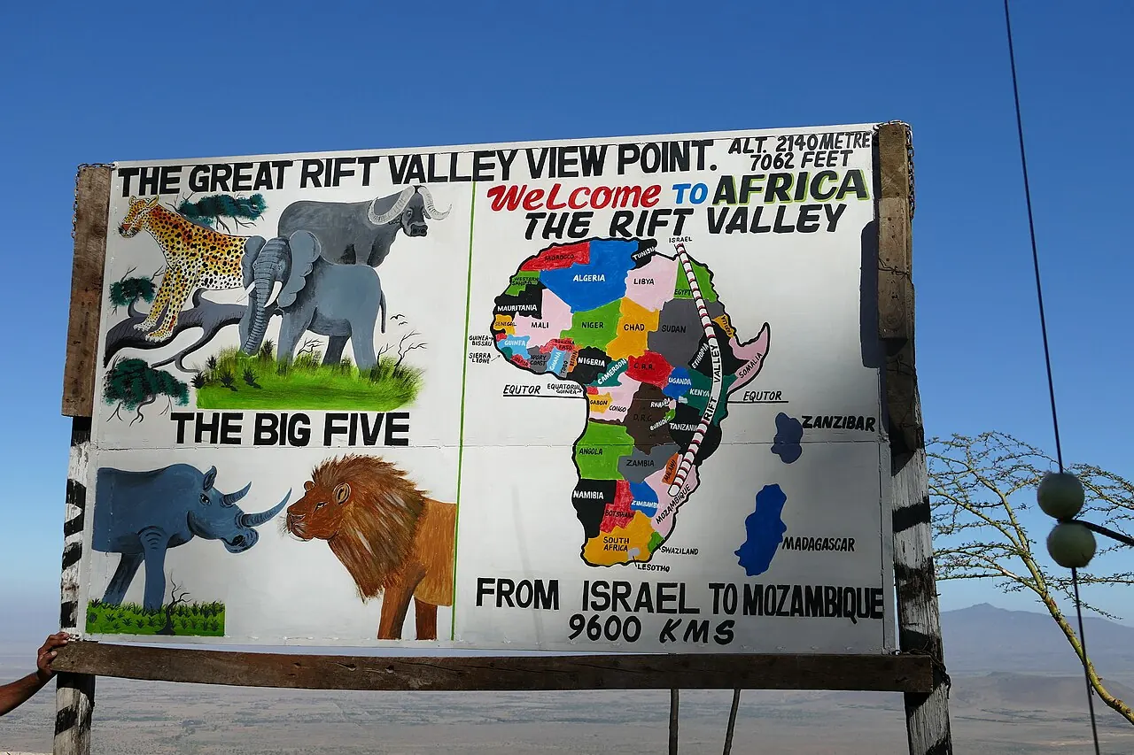
Photo: Daniel Aufgang / Wikimedia Commons, CC BY 3.0

How far is each Kenya park from Nairobi?
From JKIA by road: Lake Naivasha 109.1 km, Lake Nakuru 161.2 km, the Masai Mara 242.1 km, Amboseli 230.6 km, Tsavo West 226.7 km, Ol Pejeta 202.5 km, Samburu 302.6 km and Tsavo East 326.6 km.
| To | JKIA | Nairobi CBD | Westlands | Karen | Wilson Airport | Drive from JKIA, no traffic |
|---|---|---|---|---|---|---|
| Masai Mara, Sekenani Gate | 242 | 228 | 225 | 224 | 234 | 3½ h |
| Masai Mara, Talek Gate | 260 | 246 | 243 | 242 | 252 | 4¼ h |
| Mara Triangle, Oloololo Gate | 268 | 253 | 250 | 249 | 259 | 4¼ h |
| Amboseli, Kimana Gate | 231 | 238 | 240 | 250 | 237 | 3¼ h |
| Amboseli, Iremito Gate | 198 | 205 | 208 | 217 | 204 | 3½ h |
| Hell's Gate, Elsa Gate (South Lake Road) | 109 | 94 | 92 | 91 | 100 | 1¾ h |
| Naivasha town | 102 | 88 | 85 | 84 | 94 | 1½ h |
| Lake Nakuru, Lanet Gate | 161 | 147 | 144 | 143 | 153 | 2¼ h |
| Lake Nakuru, Main Gate | 173 | 158 | 155 | 154 | 164 | 2½ h |
| Lake Bogoria (Loboi, north end) | 282 | 268 | 265 | 264 | 274 | 3¾ h |
| Lake Baringo, Kampi ya Samaki | 286 | 271 | 268 | 267 | 277 | 3¾ h |
| Ol Pejeta, Rongai Gate | 202 | 200 | 202 | 215 | 209 | 3 h |
| Nanyuki town | 196 | 193 | 195 | 208 | 202 | 2½ h |
| Aberdare, Mweiga (tree-lodge meeting point) | 169 | 167 | 169 | 182 | 176 | 2¼ h |
| Samburu, Archer's Gate | 303 | 300 | 302 | 315 | 309 | 4 h |
| Tsavo West, Mtito Andei Gate | 227 | 234 | 236 | 246 | 233 | 3 h |
| Tsavo East, Voi Gate | 327 | 334 | 336 | 346 | 333 | 4¼ h |
| Emali (SGR station town) | 118 | 125 | 128 | 138 | 124 | 1½ h |
| Namanga border (for Arusha) | 155 | 162 | 165 | 160 | 162 | 2 h |
| Mombasa city | 476 | 483 | 486 | 496 | 483 | 6 h |
| Routed by OSRM over OpenStreetMap, 2026-11-19. Times are free-flow engine figures: plan 1.3 to 1.5 times longer, plus stops. | ||||||
How long do the drives really take?
The chart’s times are engine figures: no traffic, no stops. On the road we allow 1.3 to 1.5 times longer, plus stops on a long day. The time we plan for each route:
| Transfer | Road km | Plan for | Noah 2WD | Land Cruiser |
|---|---|---|---|---|
| Nairobi to Masai Mara | 242.1 km | 5½–6 h | US$317 | US$436 |
| Nairobi to Amboseli | 230.6 km | 4½–5½ h | US$302 | US$415 |
| Nairobi to Lake Naivasha | 109.1 km | 2½–3½ h | US$143 | US$196 |
| Nairobi to Lake Nakuru | 161.2 km | 3½–5 h | US$211 | US$290 |
| Nairobi to Samburu | 302.6 km | 5½–6¾ h | US$396 | US$545 |
| Nairobi to Ol Pejeta & Nanyuki | 202.5 km | 4¼–5 h | US$265 | US$364 |
| Nairobi to the Aberdares | 169.4 km | 3–3½ h | US$222 | US$305 |
| Nairobi to Tsavo West | 226.7 km | 4¼–5 h | US$297 | US$408 |
| Nairobi to Tsavo East | 326.6 km | 6–7¼ h | US$428 | US$588 |
| Nairobi to Lake Bogoria & Baringo | 282.1 km | 5–6¼ h | US$370 | US$508 |
| One way, per vehicle; return = twice. Planning time includes Nairobi traffic and short stops. | ||||
How far apart are the parks?
| Transfer | Road km | Plan for | Noah 2WD | Land Cruiser |
|---|---|---|---|---|
| Masai Mara to Lake Nakuru | 214.9 km | 4½–5½ h | US$282 | US$387 |
| Masai Mara to Lake Naivasha | 218 km | 4¾–5¾ h | US$286 | US$392 |
| Masai Mara to Amboseli | 463.3 km | 9–10 h, or split | US$607 | US$834 |
| Amboseli to Tsavo West | 123.4 km | 4¾–6¼ h | US$162 | US$222 |
| Samburu to Ol Pejeta | 130.9 km | 2¼–2¾ h | US$171 | US$236 |
| Lake Nakuru to Lake Naivasha | 79.3 km | 1¾–2¼ h | US$104 | US$143 |
| One way, per vehicle; return = twice. Planning time includes Nairobi traffic and short stops. | ||||
The Mara and Amboseli are the far pair: there is no direct road, so the trip goes round Nairobi. See Mara to Amboseli.
How were these distances measured?
All 72 places in the chart and the calculator were routed together with OSRM over OpenStreetMap; gate pins are the points where the road meets the gate. Product routes were then matched to the Kenya Roads Board road layer: see Kenya’s road network. Prices for any pair: rates and calculator; flying instead: fly or drive.
Book your transfer
Send your pick-up, drop-off, date and the number of travellers. We confirm the vehicle, the driver-guide and the price in writing, worked out from the road distance.