Travel guide · Roads
Kenya’s road network for safari travelRoad classes, the roads to each park, who looks after them
Every safari transfer in Kenya runs on a classified road network managed by public agencies and funded through the Kenya Roads Board. Knowing the classes and road numbers explains why the trunk roads are tarmac, the last kilometres are murram, and why drive times stretch.
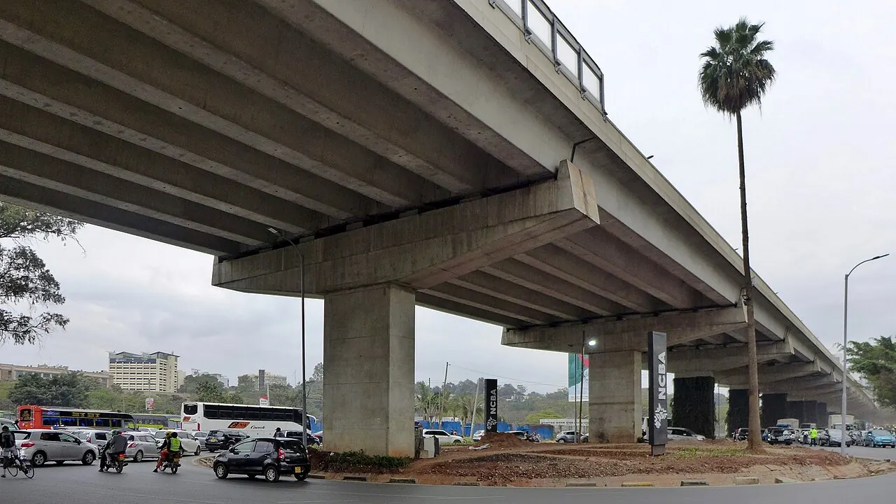
Photo: Bahnfrend / Wikimedia Commons, CC BY-SA 4.0

Who manages Kenya’s roads?
The Kenya Roads Board funds and oversees the maintenance of Kenya’s public roads through the Road Maintenance Levy Fund, while three agencies build and maintain them: KeNHA for national trunk roads, KeRRA for rural roads and KURA for urban roads. Roads inside national parks are the Kenya Wildlife Service’s; county governments look after county roads, including those in the Masai Mara reserve.
- Kenya Roads Board (KRB): set up under the Kenya Roads Board Act, 1999; administers the fuel levy that pays for maintenance and publishes the road network maps and condition surveys.
- KeNHA, KeRRA, KURA: created under the Kenya Roads Act, 2007, for national, rural and urban roads.
- KWS and counties: park roads and county roads, including the last kilometres to many camps.
What do Kenya’s road numbers mean?
Kenya classifies its roads by letter: S for highways, A for international trunk roads, B for national trunk roads, C for primary roads, D for secondary roads and E for minor roads, with special-purpose and urban classes besides. The current classification was gazetted in January 2016 (Kenya Gazette Supplement No. 4 of 2016).
| Class | Meaning | Safari example |
|---|---|---|
| A | International trunk road, linking international centres, borders and ports | A8 Mombasa–Nairobi–Nakuru; A2 Nairobi–Nanyuki–Isiolo |
| B | National trunk road, linking nationally important centres | B7 Mai Mahiu–Narok |
| C | Primary road, linking provincially important centres | The Narok–Sekenani road to the Masai Mara |
| D/E | Secondary and minor roads | Gate approaches and camp roads |
| G | Special-purpose road | Roads around the Mara and Amboseli gates |
| Classes: KRB road network classification map (gazetted January 2016). Examples: our routes matched to the KRB road layer, November 2026. | ||
Which roads do the safari transfers use?
We route every transfer on OpenStreetMap and then match it, every 250 metres, to the Kenya Roads Board’s classified road layer. These are the three main roads out of Nairobi:
West: Nairobi to the Masai Mara
| Road | KRB class | Section | Distance |
|---|---|---|---|
| B33 | national trunk road | JKIA (Jomo Kenyatta International Airport) → Nairobi Terminus SGR station | 4 km |
| A8 | international trunk road | Nairobi Terminus SGR station → Limuru | 42 km |
| A8 South | international trunk road | Limuru → Mai Mahiu | 20 km |
| B7 | national trunk road | Mai Mahiu → Narok town | 94 km |
| B19 | national trunk road | Narok town → Ewaso Ngiro | 12 km |
| C728 | primary road | Ewaso Ngiro → Sekenani | 70 km |
| 100% of this route runs on roads in the Kenya Roads Board classified network (road classes gazetted in 2016; KRB road layer via ENERGYDATA.INFO, CC BY 4.0). Route 242 km by OSRM over OpenStreetMap, checked 2026-11-19. Section towns are the nearest named places. | |||
South-east: Nairobi to Amboseli
| Road | KRB class | Section | Distance |
|---|---|---|---|
| B33 | national trunk road | JKIA (Jomo Kenyatta International Airport) → Nairobi Terminus SGR station | 4 km |
| A8 | international trunk road | Nairobi Terminus SGR station → Emali (SGR station town) | 115 km |
| Access road | not in the KRB layer | around Emali (SGR station town) | 22 km |
| E7024 | minor road | – | 13 km |
| G71242 | special-purpose road | – | 11 km |
| Access road | not in the KRB layer | – | 9 km |
| A5 | international trunk road | around Kimana | 36 km |
| B54 | national trunk road | Kimana → Amboseli, Kimana Gate | 22 km |
| 84% of this route runs on roads in the Kenya Roads Board classified network (road classes gazetted in 2016; KRB road layer via ENERGYDATA.INFO, CC BY 4.0). Route 231 km by OSRM over OpenStreetMap, checked 2026-11-19. Section towns are the nearest named places. | |||
North: Nairobi to Samburu
| Road | KRB class | Section | Distance |
|---|---|---|---|
| B33 | national trunk road | around JKIA (Jomo Kenyatta International Airport) | 23 km |
| A2 | international trunk road | around Thika | 65 km |
| B24 | national trunk road | around Sagana | 44 km |
| A9 | international trunk road | – | 96 km |
| B66 | national trunk road | – | 4 km |
| C364 | primary road | around Isiolo town | 28 km |
| A2 | international trunk road | Isiolo town → Archer’s Post | 40 km |
| C342 | primary road | Archer’s Post → Samburu, Archer’s Gate | 4 km |
| 100% of this route runs on roads in the Kenya Roads Board classified network (road classes gazetted in 2016; KRB road layer via ENERGYDATA.INFO, CC BY 4.0). Route 303 km by OSRM over OpenStreetMap, checked 2026-11-19. Section towns are the nearest named places. | |||
Every route page has its own table: start with the Masai Mara, or see all routes.
What are the roads like?
- The trunk roads are tarmac: the A8 to Naivasha, Nakuru and Narok, the A8 Mombasa Road, and the A2 north to Isiolo. They carry heavy freight; expect slow lorries on the Rift Valley escarpment and speed bumps in every trading centre.
- The Narok–Sekenani road is paved but rated only fair in KRB’s condition survey, with potholes near the trading centres.
- Park and camp roads are murram: dust in the dry season, mud and drifts in April–May and November. That is where the Land Cruiser earns its rate: see vehicles.
- Nairobi’s traffic is the biggest variable on any transfer; the Nairobi Expressway, a toll road from the JKIA junction to Westlands, saves time at peak hours: see JKIA to Nairobi.
Where does the road data come from?
Kenya Roads Board road layer, via ENERGYDATA.INFO (release 2017, catalogue updated 28 November 2023, CC BY 4.0), and the KRB road network classification map. Routing: OSRM over OpenStreetMap, November 2026. The KRB layer records classification, not today’s surface or roadworks; for current notices check KeNHA, KeRRA and KURA. Distances to every park: the distance chart. Our own standards on the road: our standards.
Book your transfer
Send your pick-up, drop-off, date and the number of travellers. We confirm the vehicle, the driver-guide and the price in writing, worked out from the road distance.